What Actually Separates These Two Road Types
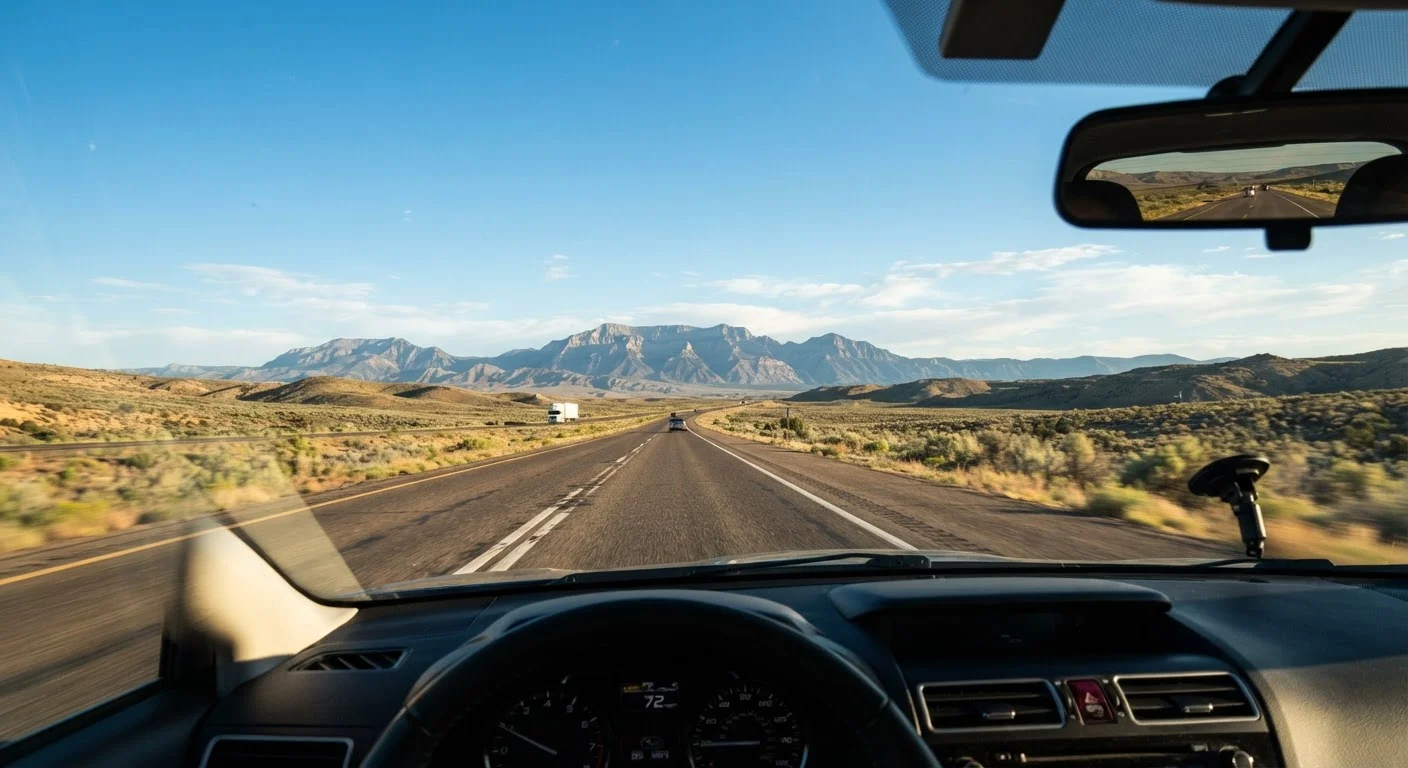
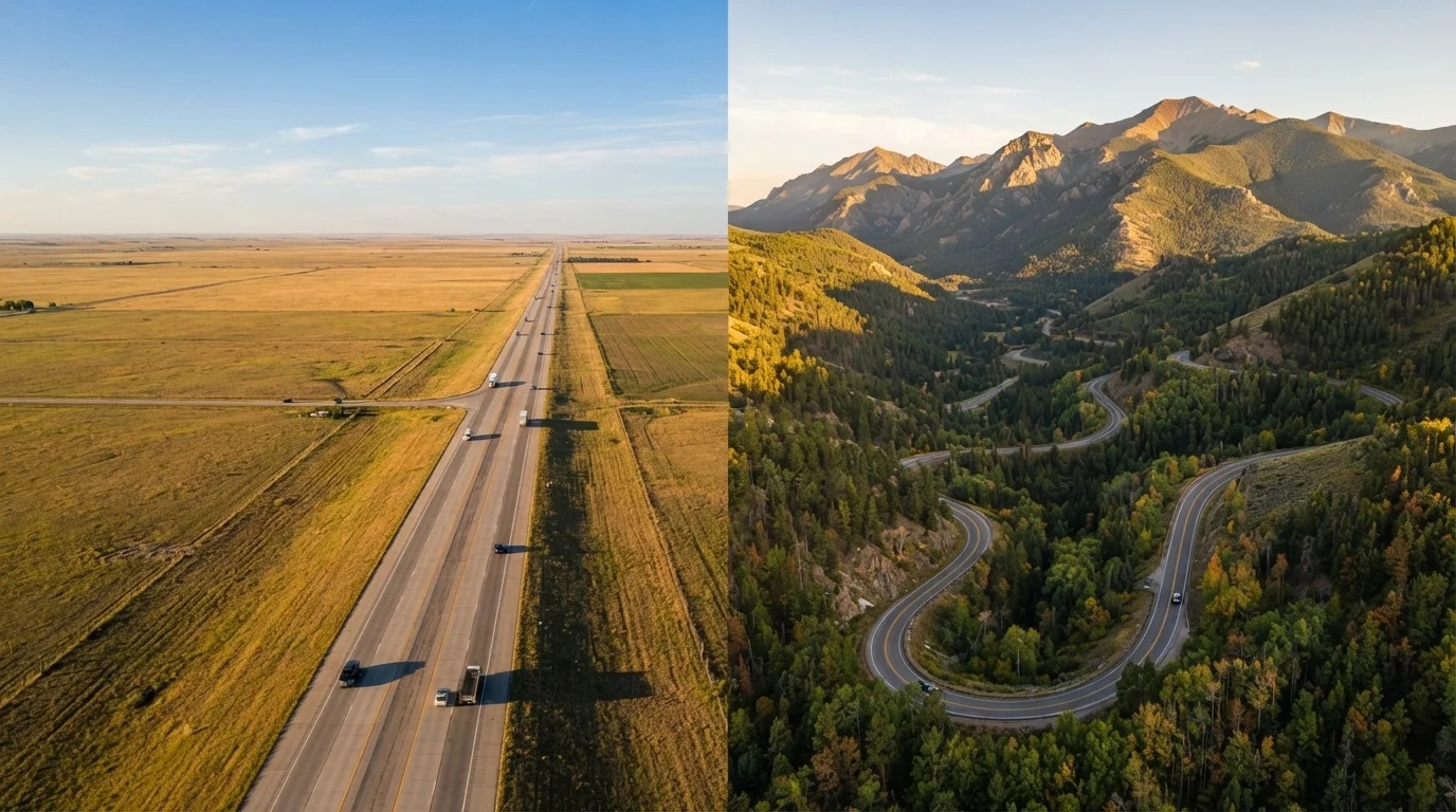
The US interstate system was designed for speed and uniformity - predictable lane widths, controlled access points, standardized signage, and service plazas at regular intervals. Interstates connect major metros efficiently, and that's exactly what they're optimized for.
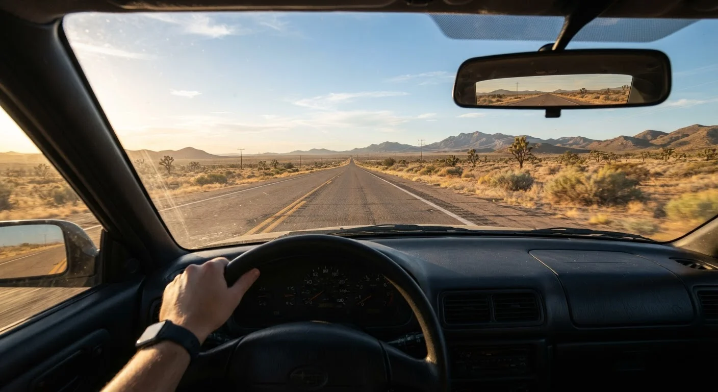
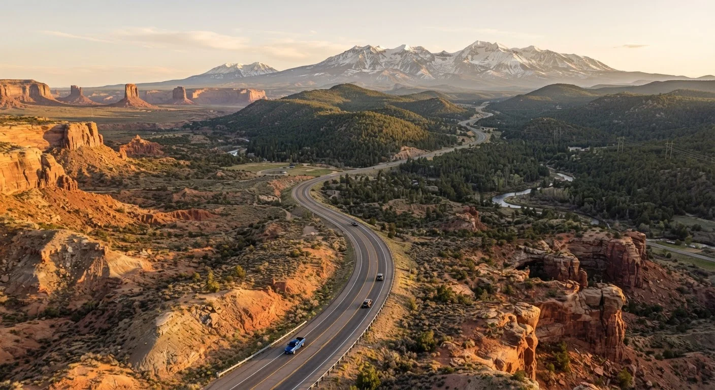
Scenic byways, by contrast, are a designation applied by federal and state agencies to roads with outstanding natural, cultural, historic, or recreational qualities. The America's Byways program, managed by the Federal Highway Administration, recognizes routes across six intrinsic qualities: scenic, natural, historic, cultural, archaeological, and recreational. These roads were not engineered for throughput - they were preserved or designated because of what lies alongside them.
The practical difference: an interstate will get you from Denver to Salt Lake City in roughly 7 hours. The equivalent byway-heavy route through the Uinta Mountains could take two days, but will pass terrain the interstate corridor never touches. Neither is the wrong choice - they're answering different questions.
If you're new to planning long drives, the first-time cross-country drive guide covers foundational route-selection decisions worth reading before committing to either approach.
Time, Distance, and the Real Cost of Going Slow
Speed is the most obvious trade-off, but the math is more nuanced than miles-per-hour. Byways introduce variables that compound: lower speed limits (often 35-55 mph versus 65-80 mph on interstates), more frequent stops, limited passing opportunities, and seasonal closures that don't affect the interstate network.
A byway that covers 200 miles on a map can easily consume an entire day when road conditions, elevation gain, and worth-stopping-for viewpoints are factored in. Budget that time intentionally rather than treating it as lost efficiency.
| Interstates | Scenic Byways | |
|---|---|---|
| Average travel speed | 65-80 mph posted limits | 35-55 mph, often slower |
| Fuel and services | Every 30-40 miles typically | Gaps of 80-100 miles possible |
| Cell coverage | Reliable along most corridors | Inconsistent; dead zones common |
| Seasonal closures | Rare; most stay open year-round | Common in mountain or desert routes |
| Scenery and local access | Limited; bypasses most towns | High; often runs through communities |
| Vehicle requirements | Any standard passenger vehicle | Some segments need high clearance |
| Emergency service access | Frequent highway patrol presence | Sparse; verify before departing |
Fuel stops deserve specific attention. On interstates, you're rarely more than 30-40 miles from a gas station. On remote byways - particularly in the Mountain West and rural Southwest - gaps of 80-100 miles between fuel sources are common. Always verify fuel availability along any byway segment before departure, and carry a rough range estimate for your vehicle.
For solo travelers evaluating this trade-off, the solo road trip trade-offs guide addresses how route type interacts with the specific challenges of driving alone.
Safety and Infrastructure Gaps You Need to Plan Around
Interstates carry substantial safety infrastructure: frequent emergency pull-offs, median barriers, highway patrol presence, and well-lit rest areas. Cell coverage along most major interstates is reliable enough to call for help in most situations.
Byways vary widely. Some - like the Blue Ridge Parkway - are well-maintained and heavily traveled. Others, particularly unpaved or semi-paved Forest Service routes designated as byways, may have no guardrails, no cell coverage, and no emergency services for extended stretches. The designation alone tells you nothing about road condition or service access.
Always Research Byway Conditions Before You Leave
Byway designations reflect scenic or cultural value - not road quality. Before driving any unfamiliar byway, check the relevant state DOT road conditions page and any applicable national forest or park service alerts. Download offline maps for the segment in advance, since cell coverage may disappear exactly when you need navigation help most.
Vehicle suitability matters too. High-clearance or all-wheel-drive vehicles handle mountain byways more comfortably than low-clearance sedans, and some unpaved byway segments are unsuitable for passenger cars entirely. Check road condition reports from the relevant state DOT or national forest office before routing through unfamiliar byway segments.
Weather adds a further layer. Mountain passes used as byways can close seasonally or without warning. The regional weather windows guide is a practical reference for timing byway-heavy routes through mountain or desert terrain.
Older adults or those with medical needs should also consider that emergency service access - hospitals, urgent care - is significantly more limited off the interstate network. The drivability guide for older adults addresses this directly.
Building a Hybrid Route That Uses Both Effectively
The most practical approach for most US road trips isn't a binary choice - it's deliberate layering. Use interstates to cover ground between regions efficiently, then transition to byways when you've arrived at a destination worth experiencing slowly.
A workable framework: identify two or three byway segments that represent must-have experiences for your trip, then build your interstate routing to position you at the start of those segments without burning days getting there. This treats byways as a destination feature rather than the default transport mode.
For trips incorporating national parks - which are almost always better accessed via state highways and byways than interstate approaches - the national parks routing guide covers how to integrate those segments without wrecking your overall timeline.
If you're considering iconic designated routes, the Route 66 vs. Lincoln Highway comparison and the Great River Road overview both illustrate what full byway commitments actually look like in terms of logistics and daily mileage expectations.
The core principle: let your timeline drive the ratio. A 5-day trip can't afford the same byway proportion as a 14-day trip, and pretending otherwise is how road trips become stressful rather than enjoyable.