What the Route Actually Covers
The Great River Road is not a single road with a single route number. It's a federally designated scenic byway system stitched together from state and local roads that hug the Mississippi River's banks as closely as geography allows. The route begins at Lake Itasca in northern Minnesota - where the Mississippi starts as a narrow stream you can wade across - and ends at the Gulf of Mexico near Venice, Louisiana.
Total distance is approximately 3,000 miles, though the exact figure depends on which state's official route you follow. Some segments run along both the Iowa and Wisconsin sides of the river simultaneously. If you're driving the full corridor, you'll cross the Mississippi multiple times.
If you're new to long-distance driving or planning your first major road trip, our guide to planning your first cross-country drive covers the logistics framework you'll need before committing to a route this length.
~3,000
Total miles of designated Great River Road
The Mississippi River Parkway Commission estimates the full route at approximately 3,000 miles across 10 states.
10
US states the route passes through
The corridor runs from Minnesota in the north to Louisiana at the Gulf of Mexico.
2,340
Miles of the Mississippi River itself
The US Army Corps of Engineers measures the Mississippi at roughly 2,340 miles from Lake Itasca to the Gulf.
Key Stops and What Each Region Offers
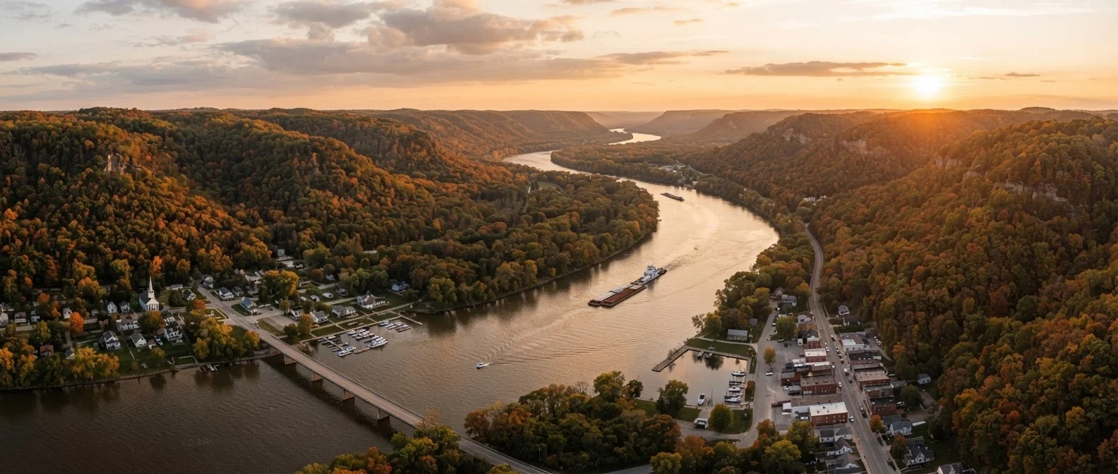
Upper Mississippi (Minnesota to Iowa): This stretch is defined by dramatic limestone bluffs, river towns like Winona and Dubuque, and the Mississippi's relatively narrow, island-dotted channel. La Crosse, Wisconsin, sits at a natural widening of the river and is a practical overnight stop with strong lodging options relative to its size.
Middle Mississippi (Illinois to Missouri): St. Louis marks the river's geographic and cultural midpoint. The Gateway Arch National Park sits on the river's west bank and is worth several hours. South of St. Louis, the river widens significantly and road options pull slightly inland in places.
Lower Mississippi (Tennessee to Louisiana): Memphis anchors this segment - Beale Street, the National Civil Rights Museum, and the river bluff views are all within a compact area. From Memphis south, the landscape flattens into Delta farmland. Natchez, Mississippi is a structured stop with preserved antebellum architecture and a formal visitor infrastructure built around river history. New Orleans is the logical endpoint: the French Quarter and riverfront are walkable, and the city rewards an extra day or two.
For help integrating protected-land stops into this type of route, see our guide to adding national parks to a road trip.
Planning the Drive: Pace, Timing, and Logistics
Ten to fourteen days is a realistic minimum for the full route if you plan to spend meaningful time at stops rather than just passing through. Drivers who push through in seven days or fewer report feeling like they missed most of the point.
A more practical approach for many travelers: drive one multi-state segment. The Upper Mississippi from Lake Itasca to St. Louis takes roughly five to seven days at a comfortable pace. The Lower Mississippi from Memphis to New Orleans can be done in four to five days.
Structure Around Overnight Towns, Not Mileage
Rather than targeting a fixed number of miles per day, plan your overnights around towns with reliable lodging clusters - Winona, Dubuque, St. Louis, Memphis, Natchez. These anchor points tend to have multiple accommodation options and are spaced at natural geographic intervals. Trying to hit exact mileage targets on state roads usually leads to arriving late in small towns where options are limited.
Seasonality matters. The southern portion of the route - Arkansas, Mississippi, Louisiana - gets intensely hot and humid from mid-June through August. Spring flooding can temporarily close low-lying riverside roads in Iowa and Illinois, typically in April and May. Fall offers the most consistent driving conditions across the entire corridor.
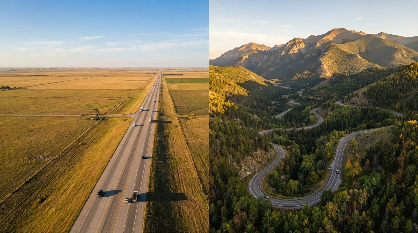
Because this is a state-road network rather than an interstate, average speeds run lower - expect 45-55 mph on much of the route rather than 70 mph highway speeds. Plan your daily mileage accordingly. The tradeoffs between scenic byways and interstates come into focus quickly on a drive like this, particularly if you're working with a tight schedule.
Navigation and On-the-Road Realities
Download an offline map before you leave. Cell coverage drops in rural sections of Minnesota, Iowa, and Arkansas. A dedicated GPS unit or a fully cached offline map in an app like Google Maps or Maps.me will keep you on route when signals disappear.
Signage gaps are the route's most consistent logistical frustration. The green pilot's wheel markers are reliable in Minnesota and Wisconsin but thin out in several southern states. Cross-reference your position with a printed or digital route map from the Mississippi River Parkway Commission, which publishes state-by-state route guides at no cost through its official website.
Fuel stations are generally available in every river town, but gaps between stations can stretch to 30-40 miles on rural segments in Mississippi and Arkansas. Don't let your tank drop below a quarter tank in those sections. Road surface quality also varies - some county-road segments in Iowa and Illinois can be rough in early spring after winter freeze-thaw cycles.