Fuel: How Far Is Too Far?
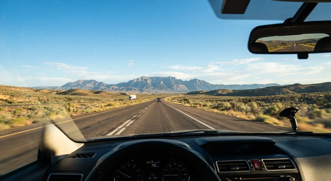
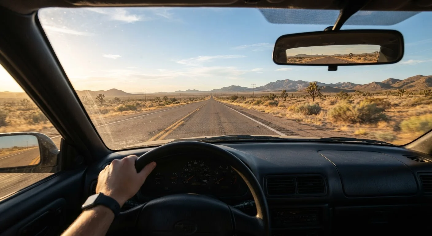
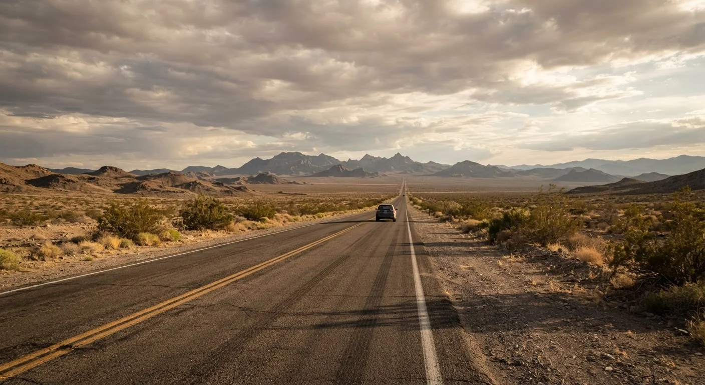
On major interstates, fuel stations appear roughly every 20-40 miles. On rural two-lane highways through the Great Basin, northern Plains, or desert Southwest, those gaps can stretch to 80-120 miles - occasionally more. Running out of fuel in an area without cell service is one of the most preventable emergencies on a road trip.
The practical rule: never let your tank drop below one-quarter when driving remote corridors. Fuel up at every opportunity, even if you don't feel like you need it yet. Before leaving any town of meaningful size, check your gauge and your route - paper maps or pre-downloaded digital maps can show whether your next confirmed station is 30 miles or 90 miles away.
Fuel grade availability can also be limited. Some rural stations carry only regular unleaded. If your vehicle requires premium, plan accordingly or verify availability before pulling off the highway. Hours matter too: many rural stations close by 8 or 9 p.m. and may be closed entirely on Sundays. Account for time of day in your planning.
For a broader look at pre-trip logistics, see our cross-country drive planning guide before you map your route.
Cell Coverage: What the Maps Don't Show You
Carrier coverage maps are optimistic. They're modeled on signal propagation, not real-world terrain interference. Valleys, ridgelines, canyon walls, and thick tree cover all degrade coverage well beyond what a map suggests. In practice, significant dead zones exist across rural Nevada, Wyoming, West Texas, the Dakotas, eastern Montana, and much of Appalachia.
Dead zone
An area with no usable cellular signal from any carrier. Common in mountainous terrain, deep valleys, and sparsely populated rural regions across the US.
Offline maps
Map data downloaded to a device before departure, allowing navigation without an active internet or cellular connection. Most major navigation apps support this feature.
Satellite communicator
A personal device that sends and receives short messages - and triggers emergency SOS signals - via satellite networks, independent of cellular infrastructure.
Coverage map
A carrier-produced visualization of expected signal reach. Modeled on ideal conditions; real-world coverage is often weaker due to terrain and building interference.
Premium fuel availability
In rural areas, many stations stock only regular unleaded. Drivers of vehicles that require premium should plan refueling stops around stations confirmed to carry it.
What to do before you lose signal:
- Download offline maps for your entire route before departure - not just the first leg.
- Save key contacts (roadside assistance, your destination, an emergency contact) in your phone where you can reach them without data.
- Note the nearest town with services at regular intervals on your route so you have a mental fallback plan.
- Share your route and estimated arrival time with someone before entering dead zones.
Satellite communicators - personal devices that send GPS-based messages and SOS signals via satellite networks - have become a practical option for travelers who frequently drive remote corridors. They function without cellular coverage. They are not a substitute for basic preparation, but they can be a meaningful safety layer for solo travelers. See our honest look at solo road trip trade-offs for more on managing risk when driving alone.
Navigation Without a Signal
GPS hardware in your phone still works without cellular data - it uses satellite signals, not cell towers. What fails without data is live map rendering, traffic updates, and route recalculation. That's why downloading offline map data before you leave is non-negotiable for remote drives.
Your Phone's GPS Still Works Offline
Losing a cellular signal doesn't disable your phone's GPS receiver - it only loses access to live map data and traffic. Download offline maps for every segment of your route before you leave a data coverage area. Many navigation apps let you save entire states or regions for offline use. Check storage space ahead of time, as large map files can require several gigabytes.
Dedicated GPS devices remain a reliable backup because they carry onboard maps and don't depend on your phone's battery or data plan. A printed or laminated map of your route region is low-tech but genuinely useful if your device fails or battery dies. Neither option requires a signal to function.
Know your major route numbers and directional waypoints before you enter a dead zone. It sounds old-fashioned, but being able to navigate by highway signs and compass direction when your screen goes dark is a real skill worth having.
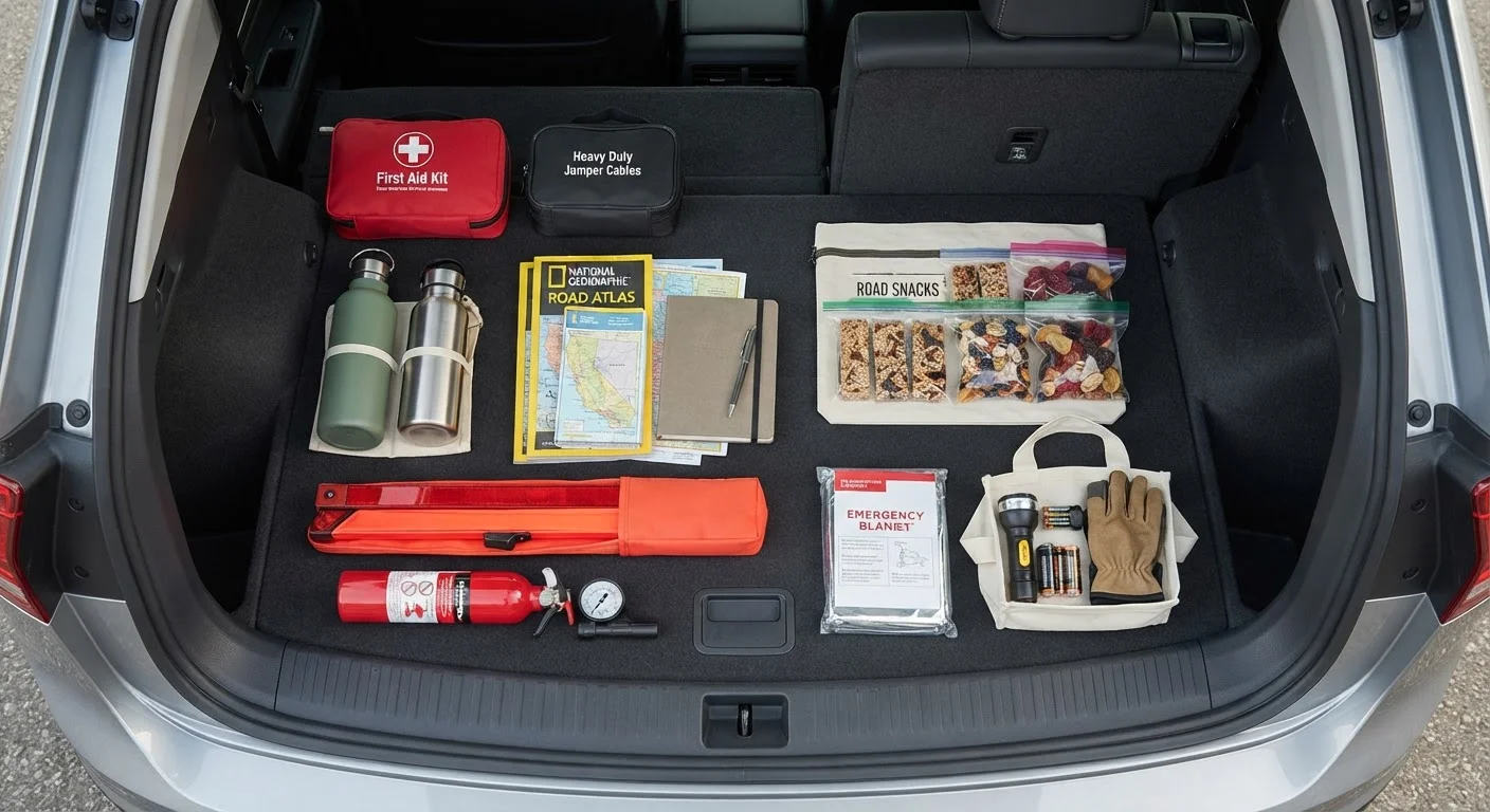
For a full breakdown of what to keep in your vehicle - including navigation backups and emergency gear - the road trip packing guide covers what experienced drivers actually carry.