The Basic Lay of the Land
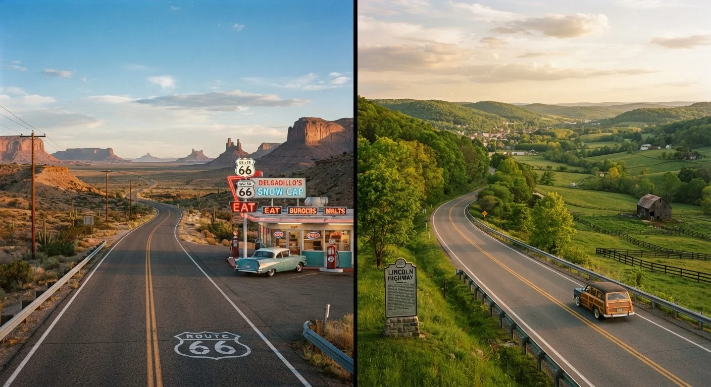
Route 66 runs approximately 2,400 miles from Chicago, Illinois, to Santa Monica, California, passing through Missouri, Kansas, Oklahoma, Texas, New Mexico, and Arizona. The Lincoln Highway, established in 1913 and stretching about 3,400 miles, begins near Times Square in New York City and ends at Lincoln Park in San Francisco, crossing Pennsylvania, Ohio, Indiana, Illinois, Iowa, Nebraska, Colorado or Wyoming (depending on alignment era), Utah, Nevada, and California.
Neither route exists as a single continuous, signed highway today. Route 66 was officially decommissioned from the US highway system in 1985. The Lincoln Highway was always a named corridor assembled from existing state and local roads rather than a federal designation. Both require that drivers do homework: consulting route-specific maps, preservation society resources, and state-by-state road condition information before departure. The difference between a scenic byway and an interstate is worth understanding before committing to either route.
| Criterion | Route 66 | Lincoln Highway |
|---|---|---|
| Total distance | ~2,400 miles | ~3,400 miles |
| Start and end points | Chicago, IL to Santa Monica, CA | New York, NY to San Francisco, CA |
| Year established | 1926 | 1913 |
| Official status today | Decommissioned 1985; preserved as historic route | Never a federal route; maintained by association |
| Primary terrain | Midwest plains, Southwest desert | Appalachians, Midwest, Rockies, Great Basin |
| Tourism infrastructure | Well-developed, abundant signage | Spottier; some segments poorly marked |
| Suggested driving time | 2-3 weeks | 3-4 weeks |
| Solo driving suitability | Generally manageable | Requires more self-sufficiency |
Scenery, Terrain, and Driving Character
Route 66's personality is shaped by its Southwest half. The stretch from Oklahoma City through Amarillo, Albuquerque, Flagstaff, and into the Mojave Desert delivers the red rock mesas, wide-open skies, and roadside vernacular architecture - diners, motels, trading posts - that define its cultural image. The Illinois and Missouri segments are more modest: flat farmland and small river towns.
The Lincoln Highway offers considerably more terrain variety. Drivers cross the Allegheny Mountains in Pennsylvania, roll through the Corn Belt, climb into the Rockies or cut across Wyoming's high desert (depending on which historical alignment they follow), descend through Nevada's Great Basin, and finish with the Sierra Nevada crossing into California. That diversity is a genuine draw, but it also means more logistical variables: mountain passes, weather windows, and longer stretches between services in Nevada and Utah.
1913
Year the Lincoln Highway was designated
The Lincoln Highway was the first improved automobile road across the United States, predating Route 66 by 13 years.
~3,400 mi
Full length of the Lincoln Highway
The route spans more than 3,000 miles across 14 states, making it roughly 1,000 miles longer than Route 66.
8 states
States crossed by Route 66
Route 66 passes through Illinois, Missouri, Kansas, Oklahoma, Texas, New Mexico, Arizona, and California.
For a useful contrast with another storied coastal drive, see our look at what the Pacific Coast Highway is actually like to drive.
Logistics: Time, Navigation, and Infrastructure
A focused Route 66 drive can be completed in 10-14 days if you limit stops; most itineraries allow 2-3 weeks for a comfortable pace. The Lincoln Highway's extra thousand miles and less-developed tourism corridor realistically demands 3-4 weeks for a thorough drive. Both routes require GPS plus printed or downloaded offline maps - cellular coverage is unreliable across large sections of both.
Route 66 benefits from a well-organized preservation movement. The Route 66 Association and state-level chapters publish current road condition updates and attraction guides. The Lincoln Highway Association fills a similar role for its route, but coverage is thinner: some segments have minimal signage, and historic alignments occasionally dead-end on private property or unmarked county roads.
Accommodation is generally easier along Route 66, where the motel-heavy towns of the Southwest provide consistent options. Lincoln Highway travelers crossing Nevada and western Utah should book lodging well in advance, as towns are sparse and options limited. Drivers prioritizing accessible services should review our framework on what makes a US road trip route genuinely drivable for older adults.
Check Historical Alignments Before You Go
Both routes have multiple historical alignments - earlier and later versions of the road that don't always match modern maps. The Lincoln Highway, in particular, had major realignments through Colorado and Wyoming over the decades. Before finalizing your itinerary, consult the relevant preservation association's current recommended alignment to avoid dead ends or unmarked segments.
If you are new to historic highway driving and uncertain whether the effort is worth it, our piece on road trip myths that keep people from driving across America addresses common concerns about cost, logistics, and planning complexity.