Why Regional Timing Matters More Than a National Calendar
There is no single "best season" for a US road trip. A May departure is ideal for the Pacific Coast Highway but inadvisable for most Rocky Mountain passes, which may still be closed by snow. A November drive through the Southeast is generally fine; the same timing through the Upper Midwest is a gamble. Use this guide as a regional lookup, not a blanket recommendation.
For a broader pre-trip planning framework, see our cross-country planning guide before drilling into regional timing details.
Region-by-Region Seasonal Reference
Pacific Coast (California, Oregon, Washington)
Best window: Late May through October. Coastal fog is common in summer mornings but generally lifts by midday. The Oregon and Washington coasts see heavy rainfall from November through April, which reduces visibility and increases landslide risk on coastal cliffs. Highway 1 in California experiences periodic closures after winter storms due to rockfall - check Caltrans alerts before travel.
Rocky Mountains (Colorado, Wyoming, Montana, Idaho, Utah)
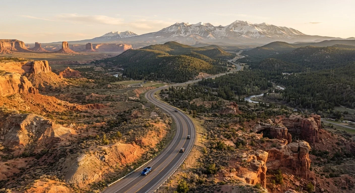
Best window: Mid-June through September. Many high-elevation passes - including Trail Ridge Road and Beartooth Highway - are closed by snow until late May or June and can close again by October. Summer afternoon thunderstorms are common and fast-moving; plan high-altitude driving for mornings. If you are driving Utah or Colorado desert country, our Southwest road trip guide has route-specific advice.
Desert Southwest (Arizona, Nevada, New Mexico)
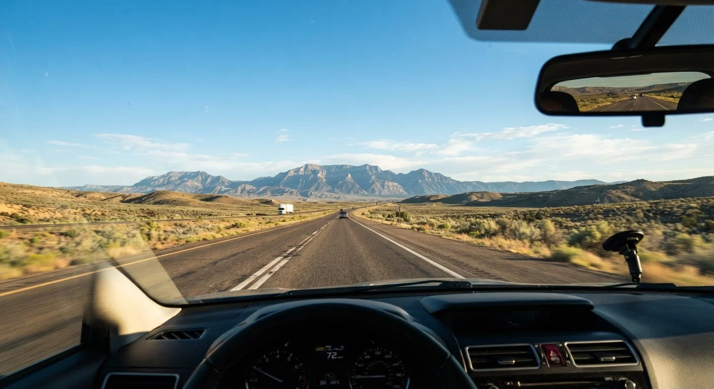
Best window: October through April. Summer temperatures in lower desert elevations routinely exceed 110°F, straining vehicle cooling systems and posing genuine safety risks if a vehicle breaks down in a remote area. Monsoon season (roughly July through mid-September) brings flash flooding that can make washes and low-water crossings impassable with little warning.
Gulf Coast and Southeast (Texas coast, Louisiana, Mississippi, Alabama, Florida)
Best window: November through May. Atlantic and Gulf hurricane season runs June 1 through November 30, with peak activity from mid-August through October. Travel during this period is not impossible, but road closures, evacuations, and flooding are real risks. Florida also sees significant afternoon thunderstorm activity June through September.
Upper Midwest and Great Plains (Minnesota, Wisconsin, Iowa, Dakotas)
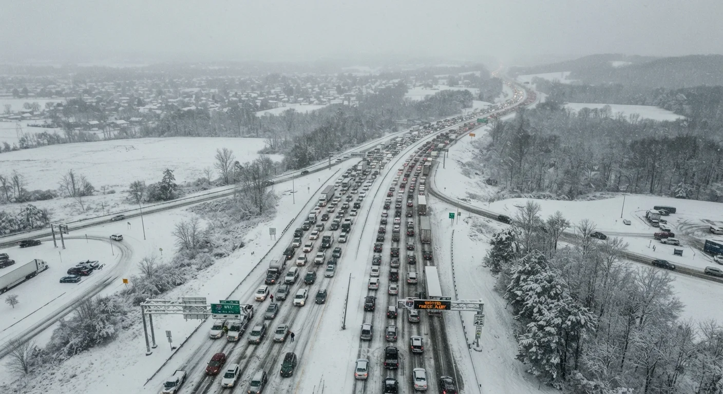
Best window: May through October. Blizzards can arrive as early as October and persist through April. Spring thaw (March-April) creates pothole-heavy rural roads and can produce flooding in river valleys. Summer tornado activity peaks from May through July - monitor weather alerts and know the difference between a watch and a warning.
Weather window
A span of time in which weather conditions in a specific region are generally favorable and predictable enough for safe, low-disruption driving. Weather windows vary significantly by region, elevation, and season.
Flash flood watch vs. warning
A watch means conditions are favorable for flash flooding to develop; a warning means flooding is imminent or already occurring. Warnings require immediate action - do not attempt to cross flooded roads.
Black ice
A thin, nearly transparent layer of ice on road surfaces that is extremely difficult to see. It forms most often on bridges, overpasses, and shaded road sections when temperatures drop near or below freezing, often overnight.
Monsoon season
In the US Southwest, a seasonal weather pattern typically running from July through mid-September that brings intense but localized afternoon thunderstorms and flash flooding, particularly in Arizona, New Mexico, and southern Utah.
Mid-Atlantic and New England
Best window: May through October, with peak foliage timing (late September-mid-October) being a popular but high-traffic window. Winter nor'easters can shut down I-95 and mountain routes in Vermont, New Hampshire, and Maine from December through March. Black ice on elevated bridges and shaded rural roads is underreported and responsible for a disproportionate share of winter incidents.
Planning Around Seasonal Hazards
Knowing the window is only part of the equation. Within a viable season, specific hazards require tactical decisions:
- Mountain passes: Always check state DOT road condition sites the morning of departure, not the night before. Conditions can change overnight.
- Flash flooding: Never drive through standing or moving water across a roadway, regardless of how shallow it appears. "Turn around, don't drown" is a widely used public safety guideline for good reason.
- Extreme heat: Fill coolant and check tire pressure before desert stretches. Carry more water than you think you need - for both passengers and the radiator.
- Hurricane tracking: If you are driving the Gulf or Southeast coast between August and October, check the National Hurricane Center (nhc.noaa.gov) regularly and have a plan for rerouting inland.
For a structured approach to building disruptions into your schedule, see planning around seasonal travel disruptions. If your route involves a mix of interstates and scenic backroads, the tradeoffs in safety and timing are also worth reviewing - our scenic byways vs. interstates guide covers them directly.
Road conditions, closures, and weather patterns vary year to year. Always verify current conditions through official state DOT resources and the National Weather Service before travel. This guide provides general seasonal context, not a guarantee of conditions at the time of your trip.