How to Approach Southwest Road Trip Planning
The American Southwest isn't a single destination - it's a collection of distinct ecosystems and terrain types spanning parts of Utah, Arizona, New Mexico, Nevada, and California. Treating it as one undifferentiated road trip leads to poor timing decisions and preventable headaches.
The most effective planning framework divides the region into four geographic zones: the Colorado Plateau, the Sonoran Desert, New Mexico's Rio Grande corridor, and the Mojave/Nevada basin. Each zone has its own optimal driving season, permit landscape, and infrastructure realities. Before deciding on a route, establish which zones your trip will pass through and cross-reference the seasonal conditions for each.
For budget planning before you finalize a route, see our complete guide to fixed-budget travel planning. If this is your first major road trip, what to know before your first cross-country drive covers foundational logistics.
~1,900 miles
Approximate Utah + Arizona combined driving loop
A standard Mighty 5 + Grand Canyon circuit covers roughly 1,900 miles depending on starting hub and side roads taken.
127°F
Record air temperature in Death Valley
Death Valley holds the world record for highest reliably measured air temperature, recorded at Furnace Creek in July 1913.
50-80 miles
Typical fuel gap on remote Sonoran desert roads
Secondary roads in southern Arizona and western New Mexico frequently have stretches of 50 to 80 miles without fuel services.
The Colorado Plateau: Utah and Northern Arizona
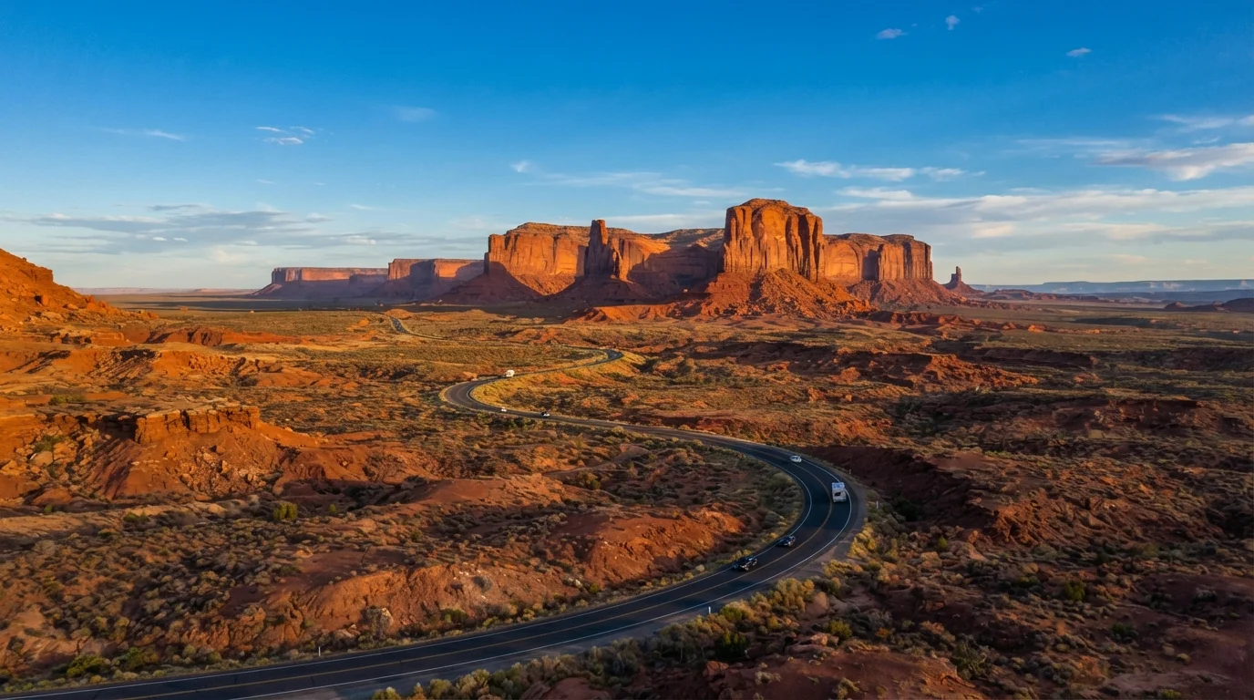
The Colorado Plateau encompasses Zion, Bryce Canyon, Capitol Reef, Canyonlands, and Arches in Utah, plus Grand Canyon's South and North Rims in Arizona. This is the most permit-intensive zone in the Southwest.
Optimal window: Mid-March through May, and September through early November. Summer brings intense crowds and temperatures exceeding 100°F at canyon floors. The North Rim of the Grand Canyon closes around mid-November.
Key permit requirements: Zion's Angels Landing requires a permit obtained through a lottery system on recreation.gov. The Wave in the Vermilion Cliffs requires a separate permit, with daily quotas that are aggressively contested. Coyote Buttes South also operates on a permit lottery. Apply months in advance - do not build an itinerary around these sites without a confirmed permit.
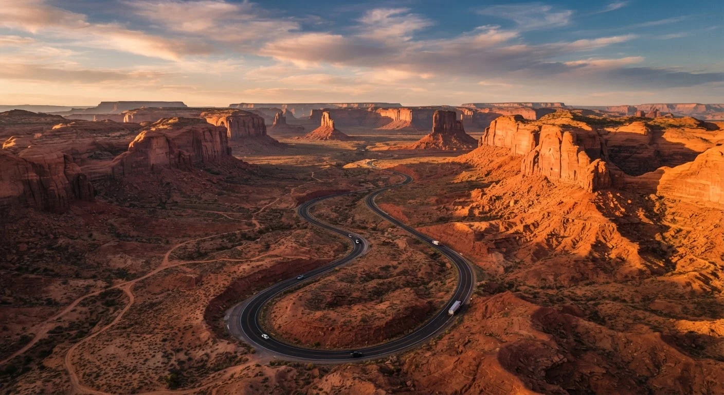
A standard Utah Mighty 5 loop runs roughly 800-1,000 miles depending on starting point. I-15 and US-89 serve as the primary north-south connectors; SR-12 between Bryce and Capitol Reef is one of the most scenic paved roads in the country but includes steep grades.
For integrating national park visits efficiently into your route, see our guide to factoring national parks into a road trip.
Book your Colorado Plateau permits in October or November for the following spring - the most popular lottery windows fill or become heavily contested by December.
Angels Landing, The Wave, and Coyote Buttes South all operate on permit systems with limited daily quotas; late applicants face near-zero odds during peak spring windows.
On any multi-day desert route, download offline maps for your entire route before leaving cell range - do not rely on real-time navigation in Death Valley, Canyonlands, or southern New Mexico backcountry.
Cell dead zones in these areas are extensive and consistent; offline maps eliminate the most common navigation failure point on remote Southwest roads.
The Sonoran Desert: Southern Arizona and Western New Mexico
The Sonoran Desert covers Tucson, Saguaro National Park, Chiricahua National Monument, and the stretch west toward Yuma. It is biologically rich and visually distinctive, but summer here is not casual driving territory.
Optimal window: October through April. From June through August, daytime temperatures routinely exceed 110°F in lower elevations. This creates real vehicle risks - overheating, tire blowouts from road surface heat, and rapid dehydration if you break down. If you must drive this zone in summer, travel in the early morning and late evening only.
Fuel and cell gaps: US-10 and US-8 have reasonable services, but secondary roads toward the Mexican border or into monument areas can have 50-80 miles between fuel stops. Carry a minimum of two extra gallons of water per person for any desert driving.
The Tucson-to-Lordsburg stretch along I-10 takes roughly 2.5 hours but passes through genuinely remote terrain. Budget time to enter Saguaro's West or East district - entry is straightforward, but rangers recommend arriving early to avoid midday heat even in shoulder season.
New Mexico's Rio Grande Corridor
New Mexico's driving backbone runs from Carlsbad Caverns in the south through White Sands National Park, up through Albuquerque, and north to Taos and the Rio Grande Gorge. This corridor is one of the most underestimated road trip routes in the country.
Optimal window: April through June, and September through October. Monsoon season (July-August) brings afternoon flash flood risk on canyon roads - this is not a reason to avoid New Mexico entirely, but check forecasts daily and never drive through a flooded wash.
White Sands logistics: Timed entry reservations are required during peak periods. The park is occasionally closed for military testing operations at White Sands Missile Range - check closure schedules on the park's official site before routing around it.
The High Road to Taos (NM-76 and NM-518) and the Low Road (NM-68 along the Rio Grande) both connect Santa Fe to Taos and are worth planning as a loop. Distance is similar; the High Road takes longer due to switchbacks and small village stops.
The Mojave and Nevada Basin
This zone includes Death Valley, Joshua Tree, Nevada's Valley of Fire, and the highways connecting Las Vegas to the California desert. Death Valley is the most extreme environment in the continental US.
Optimal window: November through March for Death Valley. Joshua Tree is manageable spring and fall. Avoid Death Valley from May through September unless you have specific experience with extreme heat driving - summer temperatures regularly exceed 120°F at the valley floor, and vehicle failures can be life-threatening.
Death Valley specifics: Fuel is available at Furnace Creek and Stovepipe Wells, but at premium prices. Cell service is extremely limited throughout the park. Inform someone of your itinerary before entering. SR-190 is the primary paved route; check the NPS site for road closures after any significant rainfall, as washouts are common on unpaved roads.
Valley of Fire State Park, 50 miles northeast of Las Vegas via I-15 and NV-169, offers accessible red rock scenery with no permit required and well-maintained roads - a practical add-on for anyone routing through southern Nevada.
For a broader look at seasonal conditions across US driving regions, see our weather windows guide for regional driving.
Permits, Timing, and Conditions to Know Before You Go
Across all four Southwest zones, a few planning principles apply universally.
Permit Booking Sequence
Lock in any lottery-based permits first, then build your itinerary around confirmed dates. Recreation.gov handles most federal site permits. Some have rolling 6-month windows; others run seasonal lotteries. Check each site individually - permit structures change.
Vehicle Preparation
Check your coolant level, tire pressure, and spare tire condition before any Southwest desert segment. Rental vehicles should have roadside assistance coverage confirmed in writing. For a full breakdown of what experienced road trippers carry, see what experienced drivers actually keep in the car.
Road Conditions and Closures
Check 511 services for each state (Arizona 511, Utah 511, NM 511, Nevada 511) 24-48 hours before driving any mountain pass or backcountry road. Winter closures on SR-12, the North Rim access road, and portions of Death Valley are common and not always well-publicized.
Desert Heat is a Vehicle Risk, Not Just Discomfort
Driving through the Sonoran or Mojave deserts in summer without preparation is genuinely dangerous. Engine overheating, tire failure from superheated road surfaces, and rapid dehydration if stranded are all real risks. If your vehicle overheats, pull over safely, turn off the engine, and do not open the radiator cap. Always carry water - a minimum of one gallon per person per day is a widely cited guideline for desert conditions.
This article provides general travel planning information. Conditions, permit requirements, entry rules, and road closures change - always verify current details directly with the relevant national park, state agency, or government source before traveling.